Site - header
Blogs
Through this webinar scheduled on 15th October at 10 AM CEST, we would like to invite you directly into the topic of one aspect of remote EBAG...
Do you want to learn more about Calculation of agro-climatic factors and their potential for utilization in the agri-food sector? This is exactly...
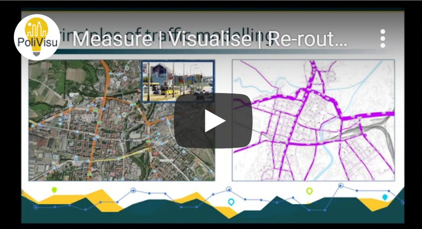
Webinar showcasing the power that dynamic, interactive, data visualisations can have on urban planning.
Yet another webinar is scheduled for next week - this time a webinar dedicated to challenge #11 of the COVID-19 INSPIRE Hackathon that is being...

The Joint Conference 2020 (24th International Conference on Information Systems for Agriculture and Forestry (ISAF) & 13th Geomatics in...
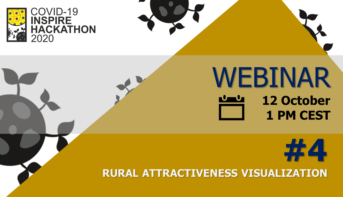
Are you still thinking about registration for the challenge #4? Do you need more information about the main goals and general understanding of...
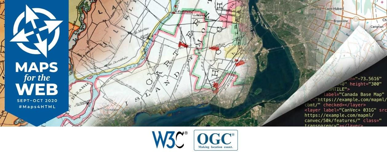
Last week, a two-week long W3C workshop brought together experts in geographic standards and Web map data services, Web mapping client tools and...

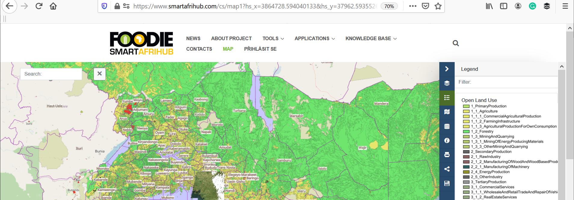
If you are thinking about own digital hub, which would allow you to integrate application tools or map components, cover your business processes or...

The COVID-19 INSPIRE Hackathon will be already the 17th hackathon organised by the Plan4All association in cooperation with CCSS and other H2020...
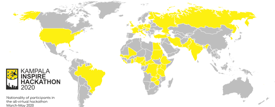
The Inspire Hackathon was held in Kampala Uganda in spring 2020. The hackathon started in March and it concluded on 6th May. The event was...
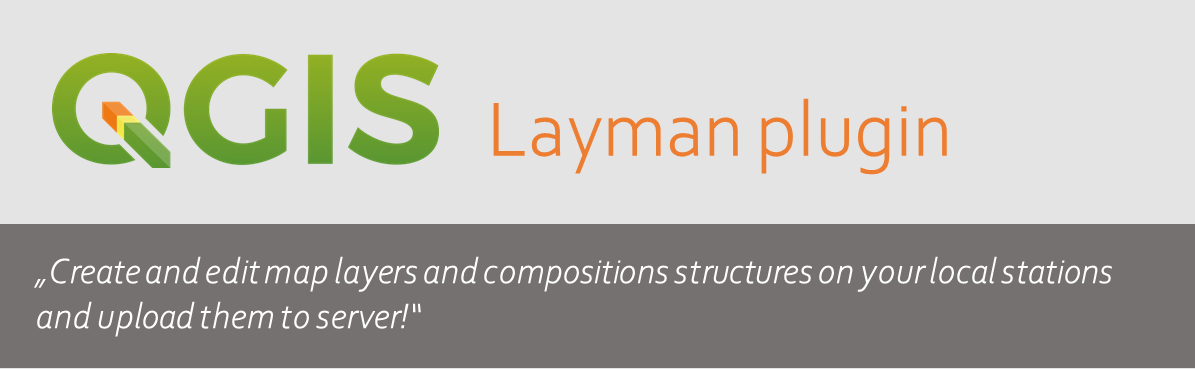
About Layman QGIS plugin This plugin is an extension of the geographic information system QGIS. It is client application usable like map...
We will start with a simple and basic task. You would like to select some from Map services in Micka catalogue and add it map window. In...