Site - header
Blogs
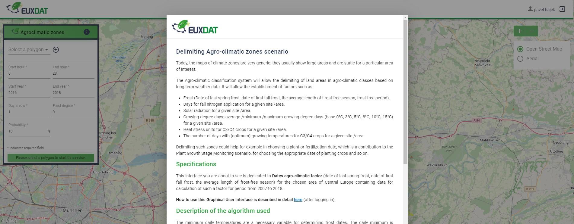
Agro-Climatic Zones Scenario. Karel Jedlička, Pavel Hájek (WirelessInfo) The Agro-climatic classification system allows user to...
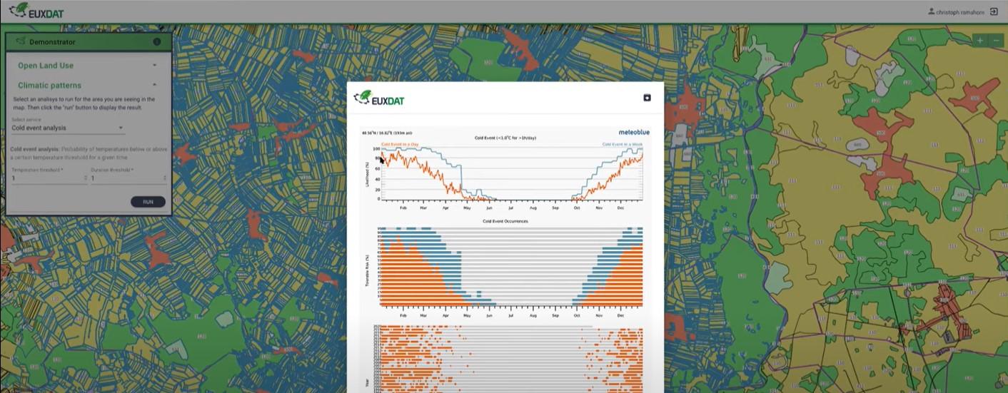
Crop Climate Risk Analysis, Monitoring, and Prediction. Nicoletta Addimando, Christoph Ramshorn (meteoblue) We combine local climate...
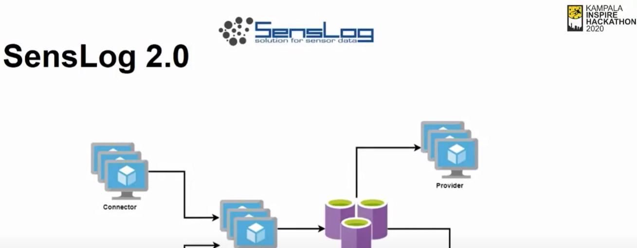
From time 57:20 you can see a presentation regarding Challenge 5 of Kampala INSPIRE Hackathon 2020 titled "IoT 4 Africa" (Michal...
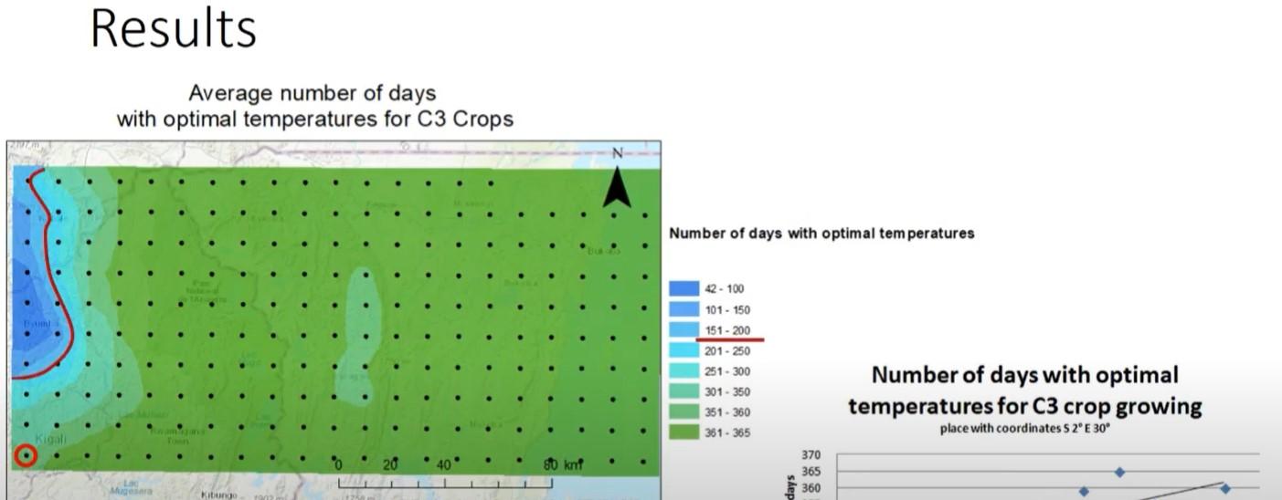
From time 11:26 you can see a presentation regarding Challenge 6 of Kampala INSPIRE AHckathon 2020 titled "Climate change trends for Africa"...

Program of the webinar The EUXDAT e-Infrastructure - Introduction of Series EUXDAT Webinars. Karel Charvát (CoO). - Green Deal,...
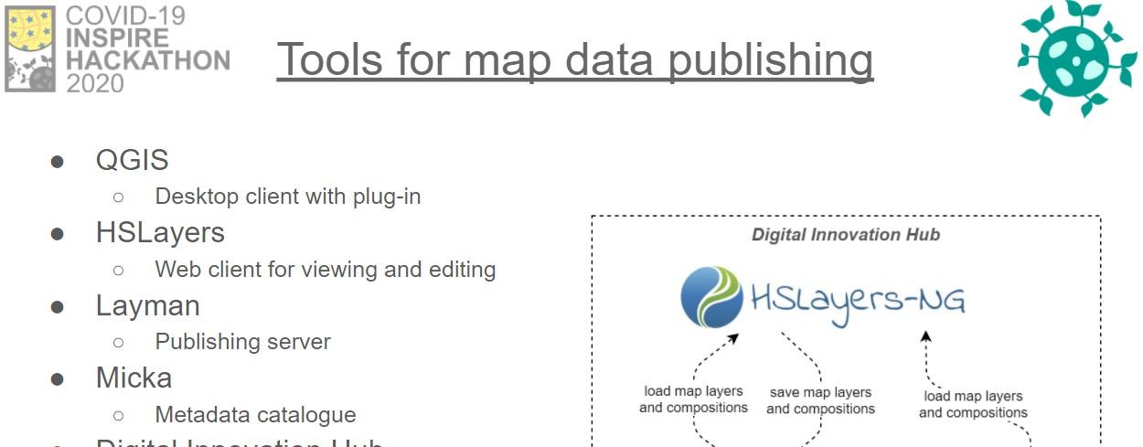
Do you have GIS-related data you want to share using open technologies? We will present you a way to publish data using QGIS via Layman QGIS Plugin...
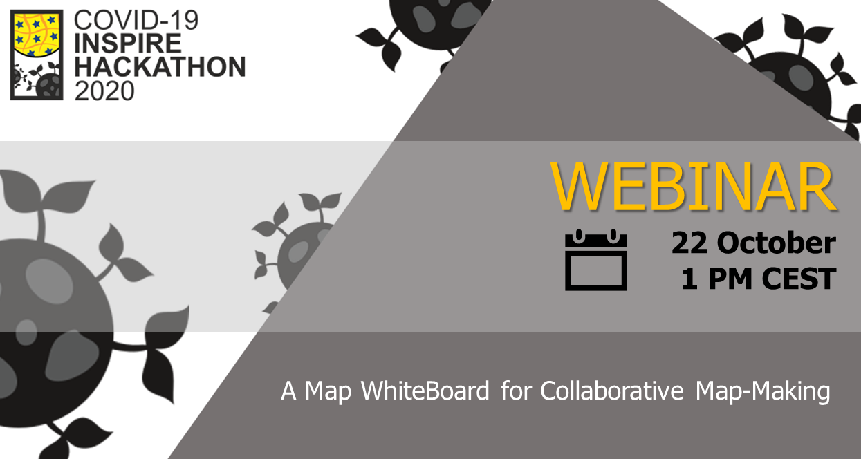
Let us cordially invite you to the webinar, where the “Map Whiteboard for Collaborative Map-Making and Data Capture” will be presented. The working...
HSLayers NG is a JavaScript library that provides a foundation to build 2D and 3D web map user interfaces and components for managing map...
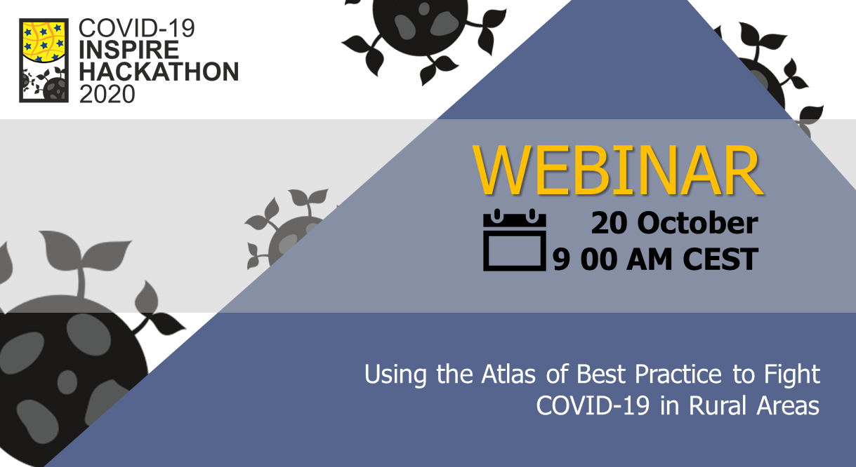
This webinar scheduled on 20th October at 9 AM CEST will present three challenges that use the Atlas of Best Practice to present solutions to...
This plugin is an extension of the geographic information system QGIS. It is a client application usable like a map layer provider for the Layman server. The main idea is to create and edit layers and create map composition structures on local stations to upload to the server. It can also load map compositions/layers in the opposite direction as a client of WMS and WFS services....
https://video.th-deg.de/paella/ui/watch.html?id=2b4c4949-1c4f-4d75-8f78-b9beeda7f4f4 Delivering a piece of proper and interesting information to...
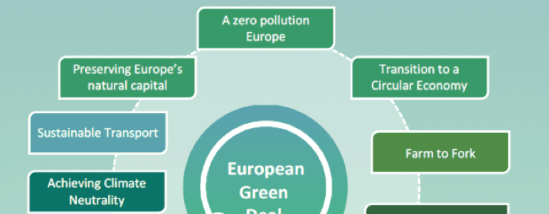
The EUXDAT consortium could provide a follow up proposal and the EUXDAT results would fit into this Green Deal initiative, Destination Earth and...