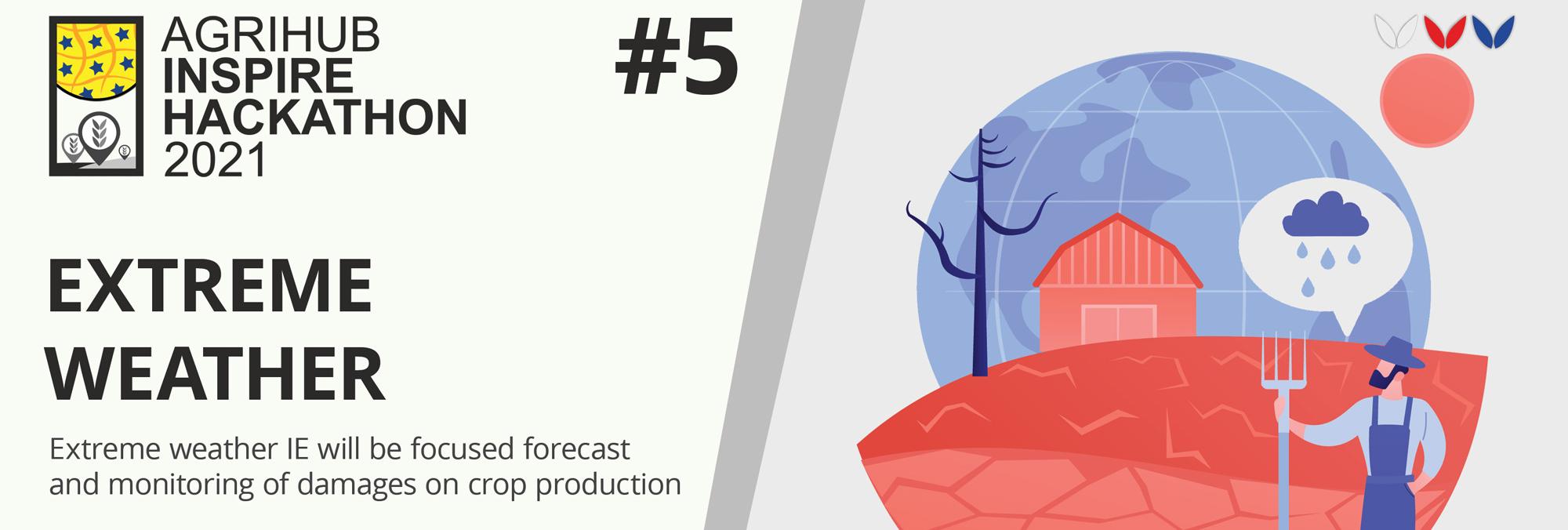
Good health and nutritional condition of crops as well as optimal physical, chemical and biological properties of soil are important features of the effects of certain environmentally friendly technologies and management efficiency in a crop production. Currently, the health’s diagnosis and nutritional condition of crops are mostly made on the basis of knowledge and experience of agronomists and long-term soil-climatic information about the particular production region. However, there is an absence of unified procedures and methodologies for reliable decision-making. Now, the high current research topic and in full compliance with the AgriHub CZ&SK scope is given at the time of development of information technologies and intelligent systems to support decision making. Focal orientation of the activity is aimed to evaluation of health status of the economically important agricultural crops and to evaluation of occurence of pests and diseases concentrations in the target crop and soil.
At the present time, the farmers are using their subjective ratings for diagnosis of nutrition and health condition of crops, respectively advice from specialists or distributors of fertilizers and plant protection products. This diagnosis is inaccurate in many cases and leads farmers to wrong decisions with a negative impact to production and thus economic efficiency of the business. The current trends tell us that just two-dimensional optical systems and computer vision represent the direction that is heading toward the development of new innovative methods for identification and location of the specific objects. Wide range of possibilities of application of these technologies helps to its development and finds new ways of its use and implementation in agricultural machinery.
On the one hand, visual detection and object recognition by using multispectral images is a very complex problem, but the farmer can respond to the current situation more variable where the situation is often and rapidly changing in the agricultural sector.
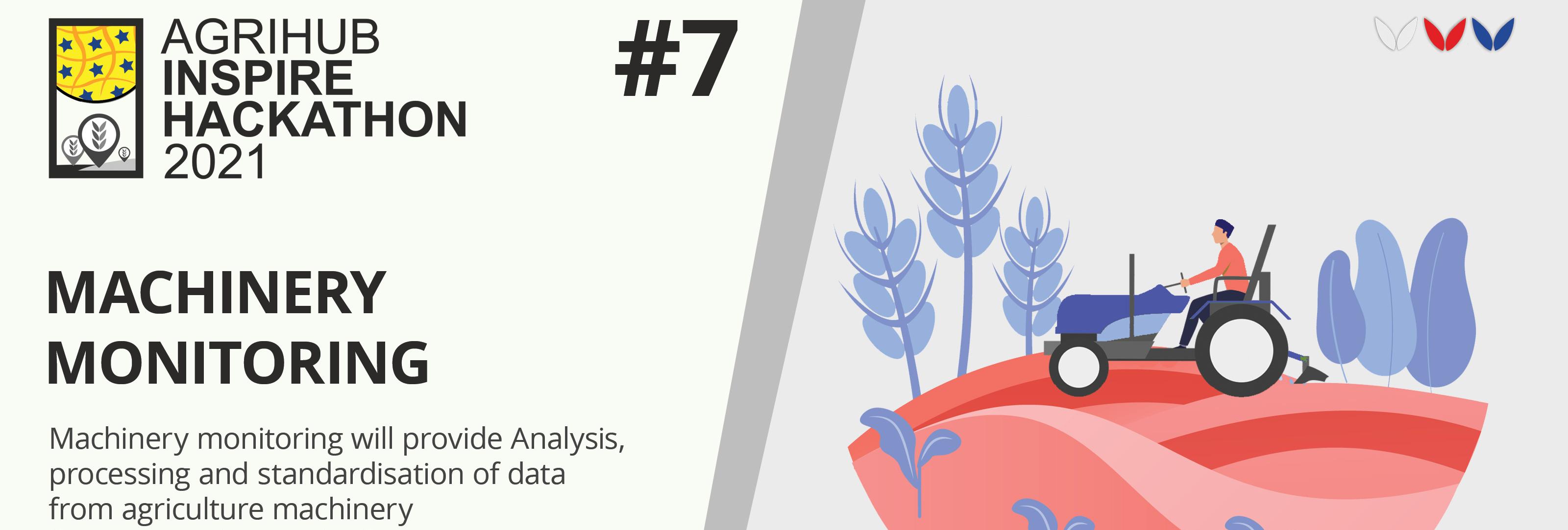
On the other hand, it is possible to simultaneously monitor several areas because data processing can be made significantly more complex. The mapped areas can be analysed, identified and realisabled with 2D respectively with a 3D image processing system much more precisely as current existing sensor systems and methods. The factors of cost and productivity are added in the specific types of applications, for example mapping of agricultural areas or localizing specific objects which are globally positive (useful) for standardization of the entire detection and control system for decision support.
CHALLENGE GOAL: The main aim of the activity is to develop sensing methodology, a hardware and software solution being able to determine the coordinates of each region together with its geometrical dimensions in order to provide accurate information in the form of maps of areas with weeds, pests and diseases, or areas with low nutrient concentrations, using commercially available unmanned vehicles that will include specialized sensing devices.
The proposed methodology for identifying problematic areas of a selected crop will result from the measured data, whether in an imagery form through specialized cameras, or from sensors. Consequently problematic areas in the crop will be identified and then the anticipated nature, extent and cause of damage will be determined. The system determines the coordinates, suggests procedures, methods and dosage and unmanned devices apply designated substances.
The autonomous and independent sampling of plants for the thorough identification of weeds, diseases, or pests in a selected crop, and the collection of soil samples to determine the physico-chemical properties will be implemented in two forms:
The (information) system to support decision-making in the field of the automated assessment of measured and collected data for the purpose of the precise application of chemicals to eliminate weeds, pests, and diseases in a crop or adding nutrients to the soil. The system for the decision support will include a mobile application which will provide the information on the precise localization for the application of chemicals based on created maps and GPS signals.
The registration for the challenges is open! Are you interested in extending current experiments available at Slovak Agrihub?
Register for this hackathon challenge