The challenge is focused on the calculation of the water reservoir storage capacity based on the DEM of reservoir bottom and current water level with the incorporating the water reservoir watershed parameters and precipitation forecast. The input data should be stored and processed in WebGIS server platforms (GeoServer, PostGIS).
As the farmers are pumping out the water from reservoir, the water storage is decreasing and the water level is descending. The water level elevation can be surveyed with existing prototype of ultrasonic sensor that stores the currently measured and calculated water level elevation in database and with the use of reservoir DEM we can calculate the current amount of water in reservoir.
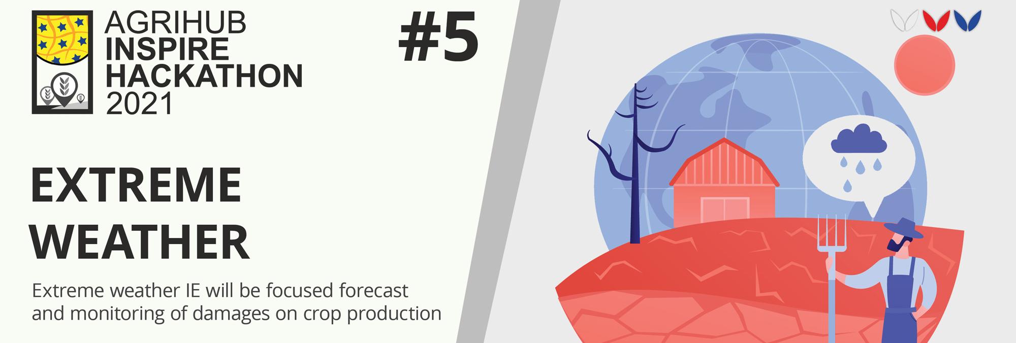
As the longer periods of droughts are presumed worldwide (climate change in progress), the amount of available irrigation water is crucial. If we would be able to incorporate the data from watershed (watershed terrain slopes, land use, soil types, etc.) and the prediction of precipitation (weather forecast), we can predict the amount of water that will flow to reservoir during drought period and during/after rain event. This would help the farmer to manage the usage of remaining water amount in reservoir by altering the uptake of water for irrigation.
Provided data:
Data to provide by participants:
INSPIRE data suitable for rain forecast (optionally other meteorological data reqired for possible more precise hydrological models), Land use (e.g. CORINE dataset, Satellite imagery and its products) and so on.
We are looking for participants that are familiar with GIS modelling and hydrology (surface runoff modelling) and Web/WebGIS coding (GeoServer, PostGIS, web map libraries such as Leaflet, OpenLayers).
The registration for the challenges is open! Are you interested in extending current experiments available at Slovak Agrihub?
Register for this hackathon challenge
Figure 1: Elevation data of reservoir bottom and reservoir watersheshed
Figure 2: WebGIS map of water reservoir – usable on computer or in the field with cellphone
Figure 3: Sensor and communication unit to provide the current water level elevation survey