We are building community focused on knowledge base - digital innovation hub Let's join the community. Become a regular user and editor - create own blog posts, threads in forum, create own maps and describe by metadata...
More Blog Entries
1 Comment
Overall Ambition of Plan4ALl DIH
The overall ambition is to design, develop and introduce a platform that connects people to the information. Firstly with integrating principles of social media like Blog, Forum, design Science Shop that enable to connect users with developers and researchers. And secondly by integrating different types of demo applications, where developers and researchers will have a chance to cooperate, test different APIs for new solutions and also provide common experiments.
Plan4all DIH AIMS TO offer
Experimentation space on cloud including storage space.
Service of cloud operator and possibility to install additional tools
Tools for development of new applications
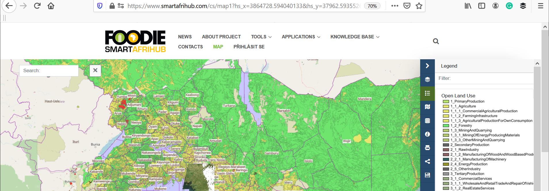
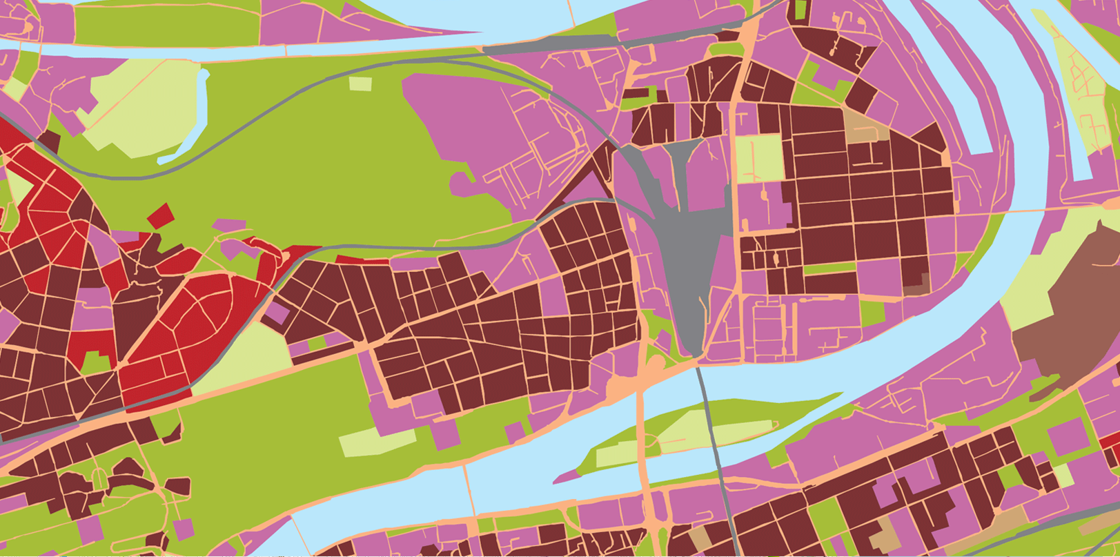
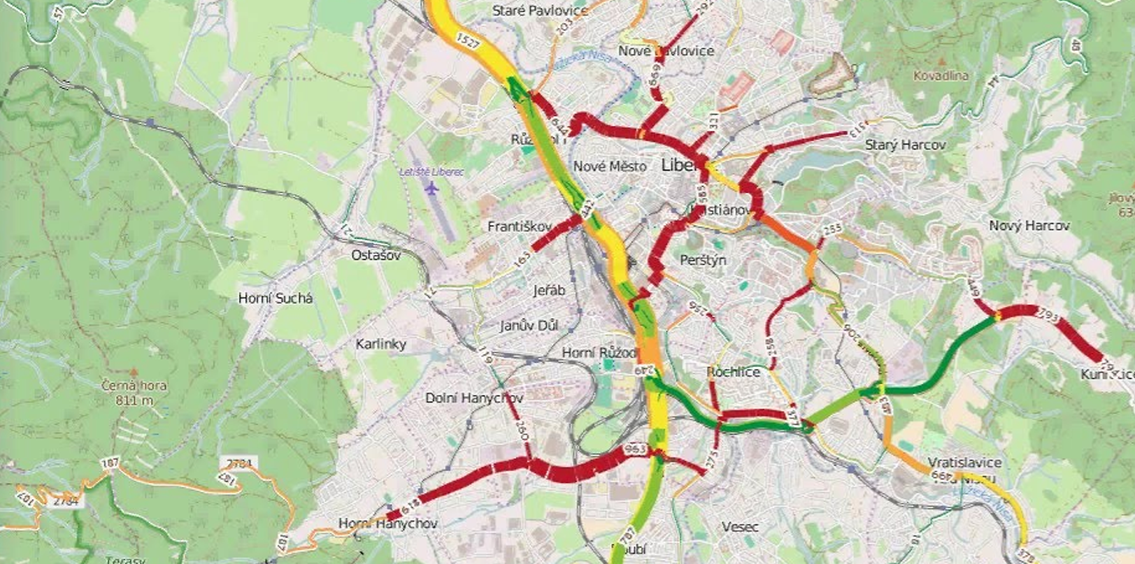
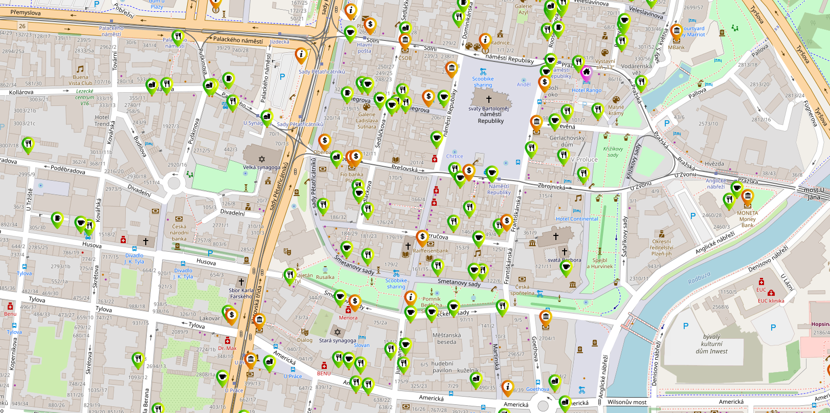
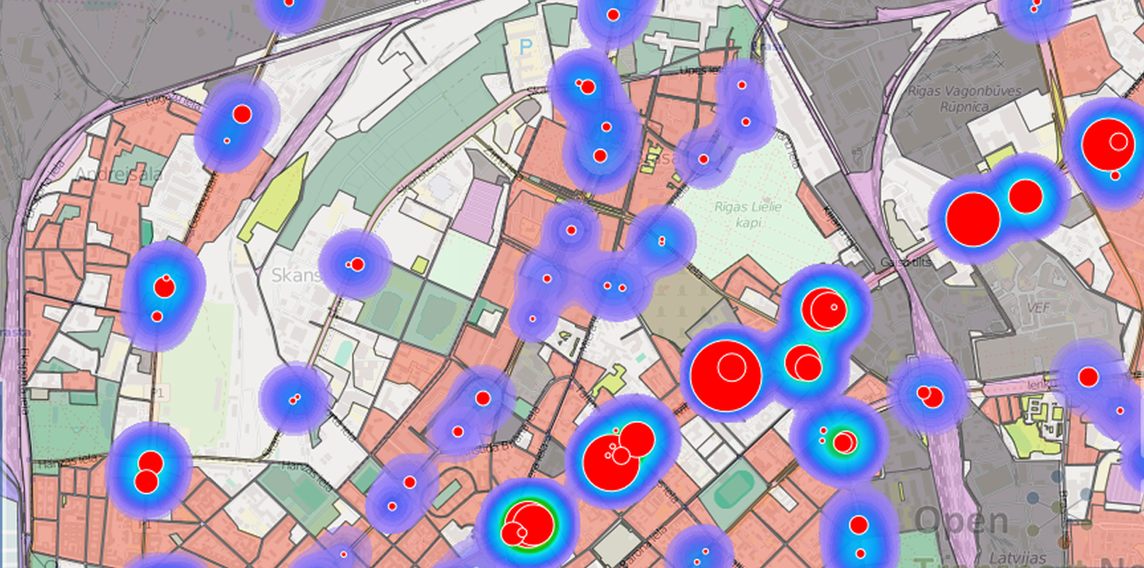
Open data
Knowledge transfer
Our Tools
Plan4all Hub amazing tools. This tools are open for all users. Registered users are allowed to use these tools for own projects.
HSLAYERS NG
A library providing a foundation to build map GUI and extra components such as layer manager, permalink generating, styling of vector features, including OpenGIS® Web Map Service Interface Standard (WMS) layers to the map in a user friendly way.
Read MoreLAYMAN
A tool for easy management, access control and publishing of vector based spatial data and their visualisations.
Read MoreOPEN MICKA
Micka tool is a set of libraries and a web application for management and discovery of geospatial (meta)data.
Read MoreSENSLOG
SensLog is an open sensor data management solution to receive, store, manage, analyse and publish sensor data.
Read MoreQGIS LAYMAN PLUGIN
This is an extension of the geographic information system QGIS that enables to users create and edit layers and create map composition structures on local stations with a possibility to upload to the server.
Read MoreThe PlAn4all HUB is created in cooperation of 2 ENtities
![]()
Plan4all is a non-profit association sustaining and further enhancing results of multiple research and innovation projects in different specialisms. Such projects include spatial planning, transport, urban planning, environment, tourism and precision/autonomous farming. Plan4all conducts research and experimental development and transfers results of such activities into practice.
![]()
Lesprojekt - služby s.r.o. is an innovative company with long-term experience with the implementation of research results into practice in the form of products and services. The company LESPROJEKT-SLUŽBY s.r.o. has a significant market position for more than 20 years and focuses primarily on business activities in the fields of environment, crisis management, forestry, agriculture and transport. The results of previous research activities are offered mainly in the form of services - eg SaaS (software as a service), PaaS (platform as a service) and IaaS (infrastructure as a service).
SMARTAGRIHUBS.EU - Plan4All DIH, MEMBER OF network
SmartAgriHubs is a € 20 million EU project under Horizon 2020 and brings together a consortium of more than 164 partners in the European agri-food sector. The project aims to realize the digitization of European agriculture by supporting an agricultural innovation ecosystem dedicated to excellence, sustainability and success.
More information MEMBER page