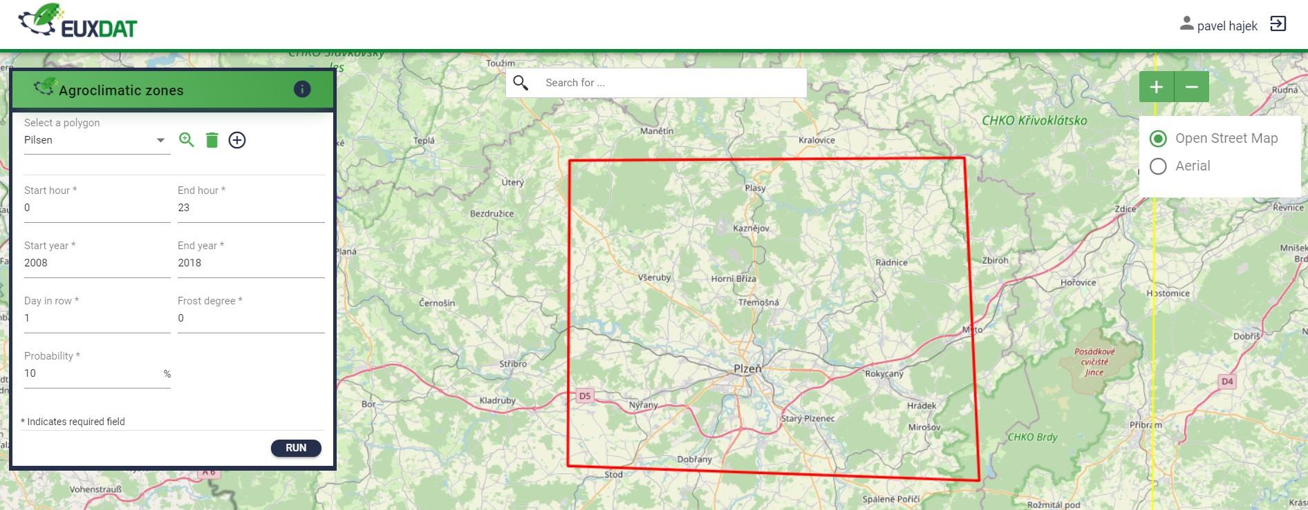
Open Land Use Map Scenario. Dimitri Kozhukh (Plan4all)
In the webinar, we will introduce the output of the Open Land Use pilot. There will be partly devoted to the creation of Open Land Use Map, part devoted to the generation of geomorphological characteristics of the OLU objects (land parcels), and also automatic classification of land cover/ land use from Sentinel-2 imagery.
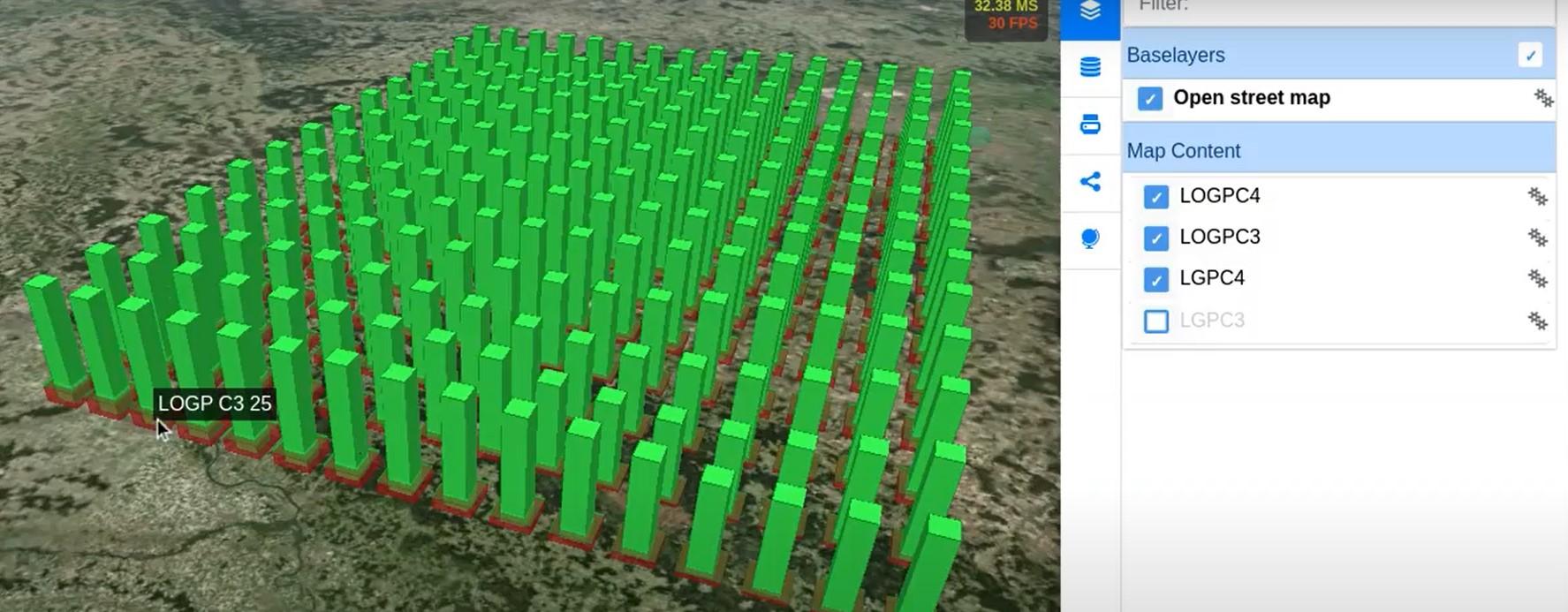
Crop Monitoring Pilot. Dimitrios Moshou, Ioannis Navrozidis (CERTH)
In the webinar, we will introduce the output of the Crop Monitoring pilot. There will be part devoted to the creation of spectral index creation from Sentinel-2 bands, part devoted to characteristics of the crop stress in olive groves, and also automatic classification of stress-disease incidence by SVM from Sentinel-2 imagery.