HP - slider

Digital Innovation Hub

OPEN GEODATA FOR PLANNING ACTIVITIES

Register Sign in

HP - green

We are building community focused on knowledge base - digital innovation hub Let's join the community. Become a regular user and editor - create own blog posts, threads in forum, create own maps and describe by metadata...

HP - science shop

Blogs

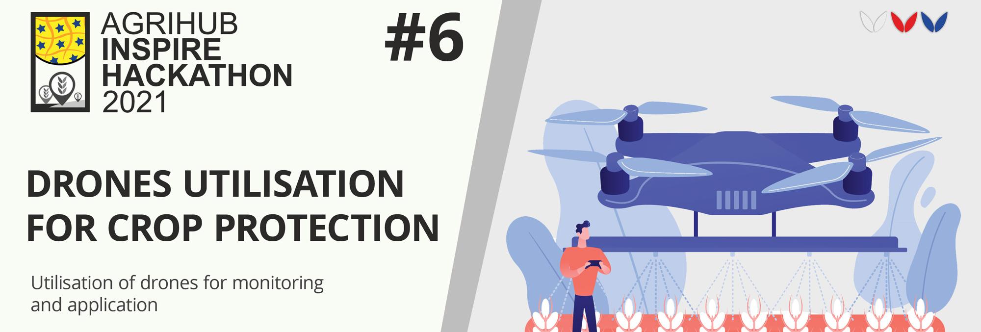
Agrihub INSPIRE Hackathon: Challenge #7 Analysis, processing and standardisation of data from agriculture machinery for easier utilization by farmers

Operation of agricultural machinery significantly influences the economic profitability of crop management. First of all, the fuel consumption, machines and operators workload, control of performed treatments and the environmental effects such as reducing the risk of deterioration of soil physical properties. From a technical point of view the monitoring system involves tracking of the vehicles position using GPS combined with acquisition of information from on-board terminal (CAN-BUS, ISOBUS ā€“ ISO XML) and their online or offline transfer to GIS environment.

Verification of the monitoring system will be done at medium-sized farm, where it will serve for an evaluation of tractors work during basic operation such as soil tillage, fertilization, sowing and application of pesticides. Similar monitoring will be tested at the enterprise which is offering services for farmers for assessing the quality of work for customers.

  • Evaluation of the economic efficiency of machinery operations within the fields
  • Precise records of crop management treatments
  • Management of machinery operations ā€“ increasing the efficiency of planning of crop management
  • Control of requirement for field operations:
    • control of pass-to-pass errors and overlaps, coverage of maintained area and recommended work speed
    • Control of applied input material in comparison to prescribed rates
    • On line monitoring of weeds
    • On line monitoring of weather on machinery

CHALLENGE GOALS:

Tracking the machinery fleet which allows localization of farm vehicles in real time. This information provides an overview of current operations of machines and is crucial for the planning of field work and an evaluation of machines usage in time. Monitoring of machine location using GPS and GSM/GPRS allows calculating working time, downtime and base information from CAN-BUS, ISOBUS (ISOXML). The base alarm function could be implemented into the system to alert when the machine is leaving the defined area or in case of rapid decrease of the fuel level.


Figure 1: Farm telemetry

Evaluation of economic efficiency of the crop management treatments within the fields. A prerequisite is the identification of fields and tractor equipment for the accurate estimation of field job costs based on the fuel consumption and used and working time. An analysis of tractor passes with information about machine parameters allows evaluating compliance of working widths and operation speed, which are an indicator of the quality of field work. Simultaneously records of performed operations will be used in agronomic registration.

Evaluation of machinery passes on the soil environment. This includes detailed analysis of the tractor trajectories within the fields considering the site specific conditions. The aim is to estimate the negative effect of machine tracks on the soil environment (especially soil compaction) and compliance of agro-environmental limits (nitrates directive, GAEC, protection of water resources, etc.). An optional extension of this evaluation represents a connection of machinery tracking with the records of applied materials (fertilizers, pesticides) from the board computer to check the accuracy of the application of agrochemicals.

The registration for the challenges is open! Are you interested in extending current experiments available at Slovak Agrihub?

Register for this hackathon challenge

00

MƔs entradas de blog

thumbnail
thumbnail

AƱadir comentarios

ABOUT DIH

Overall Ambition of Plan4ALl DIH

The overall ambition is to design, develop and introduce a platform that connects people to the information. Firstly with integrating principles of social media like Blog, Forum, design Science Shop that enable to connect users with developers and researchers. And secondly by integrating different types of demo applications, where developers and researchers will have a chance to cooperate, test different APIs for new solutions and also provide common experiments.

Plan4all DIH AIMS TO offer

Experimentation space on cloud including storage space.

Service of cloud operator and possibility to install additional tools

Tools for development of new applications

Open data

Knowledge transfer

Slider for open data sets

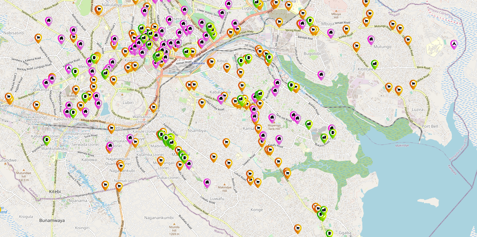
  • Smart Points of Interest
    Data from public resources and partners of cooperating projects

HP - Tools

Our Tools

Plan4all Hub amazing tools. This tools are open for all users. Registered users are allowed to use these tools for own projects.

HSLAYERS NG

A library providing a foundation to build map GUI and extra components such as layer manager, permalink generating, styling of vector features, including OpenGISĀ® Web Map Service Interface Standard (WMS) layers to the map in a user friendly way.

Read More

LAYMAN

A tool for easy management, access control and publishing of vector based spatial data and their visualisations.

Read More

OPEN MICKA

Micka tool is a set of libraries and a web application for management and discovery of geospatial (meta)data.

Read More

SENSLOG

SensLog is an open sensor data management solution to receive, store, manage, analyse and publish sensor data.

Read More

QGIS LAYMAN PLUGIN

This is an extension of the geographic information system QGIS that enables to users create and edit layers and create map composition structures on local stations with a possibility to upload to the server.

Read More

SUPERTOOL

Do you have an intersting tool which can be integrated into Plan4all Hub?

Read More

P4A DIH creators

The PlAn4all HUB is created in cooperation of 2 ENtities


Plan4all is a non-profit association sustaining and further enhancing results of multiple research and innovation projects in different specialisms. Such projects include spatial planning, transport, urban planning, environment, tourism and precision/autonomous farming.  Plan4all conducts research and experimental development and transfers results of such activities into practice.

www.plan4all.eu

Lesprojekt - služby s.r.o. is an innovative company with long-term experience with the implementation of research results into practice in the form of products and services. The company LESPROJEKT-SLUŽBY s.r.o. has a significant market position for more than 20 years and focuses primarily on business activities in the fields of environment, crisis management, forestry, agriculture and transport. The results of previous research activities are offered mainly in the form of services - eg SaaS (software as a service), PaaS (platform as a service) and IaaS (infrastructure as a service).

www.lesprojekt.cz

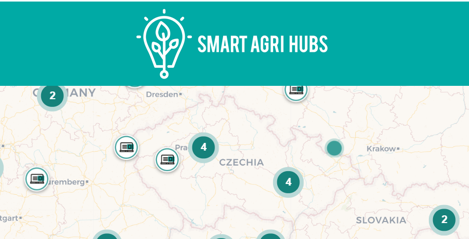
POLIRURAL DIH, MEMBER OF SMARTAGRIHUBS.EU

SMARTAGRIHUBS.EU - Plan4All DIH, MEMBER OF network

SmartAgriHubs is a ā‚¬ 20 million EU project under Horizon 2020 and brings together a consortium of more than 164 partners in the European agri-food sector. The project aims to realize the digitization of European agriculture by supporting an agricultural innovation ecosystem dedicated to excellence, sustainability and success.

More information MEMBER page